Outdoor AR
Outdoor AR® technology — a new generation of the Ostloong Outdoor AR® system where different parts of the virtual image can appear at different distances. With the OUTDOOR AR system, the virtual meets the real: both appear simultaneously at the same distance and become one.
OUTDOOR AR® technology brings a new interactive experience to traditional outdoor events, adding a new immersive true AR effect with multiple planes of depth.
This breakthrough feature further reduces the disparity errors between the virtual image and the real world, resulting in an even more impressive user experience.
-

Use cases
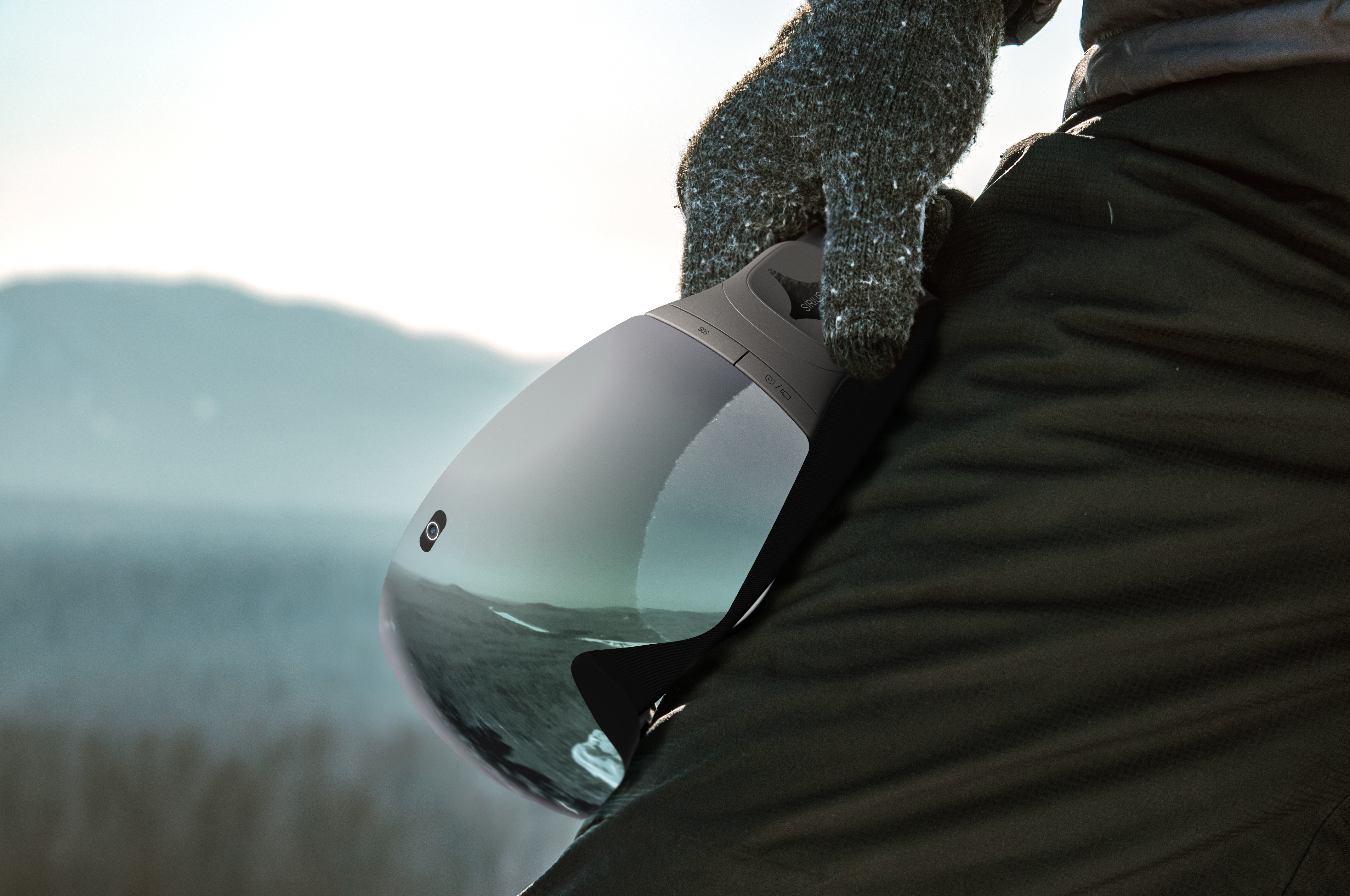
- # SIRIUS - THE WORLDS FIRST SMART AR SKI GOGGLES
- # FUTURE POSSIBILITIES


Advantages
Outdoor AR is the heart of our Sirius Goggles. It enables us to create immersive and interactive outdoor AR experiences that are unmatched in the industry.
We map entire mountains and provide highly accurate location and map data, even in challenging environments. By doing a combination of crowd-sourced terrain data and advanced AI processing through our platform, we engage a large group of people to collect terrain data through skiing. This data is then processed by our AI algorithms to create an accurate and up-to-date map of the area. This approach not only ensures accuracy but also provides a cost-effective and scalable solution for mapping challenging terrain.
We are able to follow a skier's path and collect accurate terrain data. Our technology provides a large field of view and long range, enabling us to capture detailed information about the mountain and the skier's path. This data is then processed by our advanced AI algorithms to create a complete and highly accurate map. Of course, The more data we can collect, the more accurate our maps and solutions will be.

How it works
We do this through a combination of crowd-sourced terrain data and advanced AI processing through our platform, we engage a large group of people to collect terrain data through skiing. This data is then processed by our AI algorithms to create an accurate and up-to-date map of the area. This approach not only ensures accuracy but also provides a cost-effective and scalable solution for mapping challenging terrain.

We are able to follow a skier's path and collect accurate terrain data. Our technology provides a large field of view and long range, enabling us to capture detailed information about the mountain and the skier's path. This data is then processed by our advanced AI algorithms to create a complete and highly accurate map of the
Of course, the more data we can collect, the more accurate our maps and solutions will be.
